Winter Storms
During the wintertime, our weather in North Carolina can range from balmy and spring-like to cold and sometimes even snowy. While snowfall isn’t a guarantee in any given winter season, most areas can expect anywhere from a few flakes to several inches of snow each year, on average.
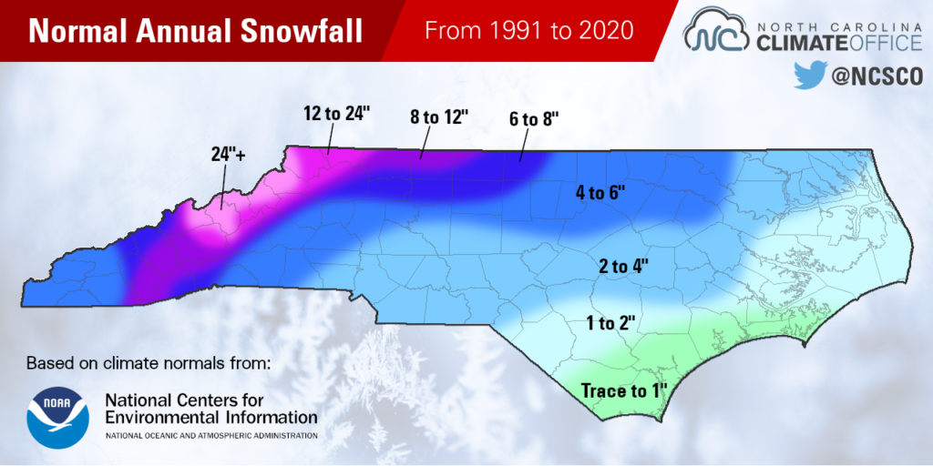
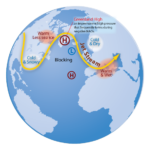
Snow is most common in the mountainous western part of North Carolina, since those higher-elevation areas tend to be the coldest spots in the state with below-freezing temperatures nearly every day during the winter season. These areas can receive wintry precipitation from weather systems approaching from the west or from storm systems moving up our coastline. (For more, see our Large-Scale Patterns page.)
The Piedmont of North Carolina is often a precipitation battleground during winter storms. With cold air in place, precipitation can reach the ground in a frozen form, but depending on temperatures higher up in the atmosphere, it could fall as snow, sleet, or freezing rain – and often, a combination of all those precipitation types during the same event. (For more, see our Wintry Precipitation page.)
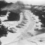
Eastern North Carolina, especially right along the coastline, can be ravaged by developing storms such as Nor’easters, but its proximity to the warmer Atlantic Ocean often makes air temperatures here too warm for frozen precipitation. Historically, there have been some major coastal snowstorms, although they’re rare. (For more, see our Notable Winter Storms page.)
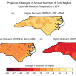
Across all regions of the state, our wintertime temperatures have been increasing, and average annual snowfall decreasing, due in part to climate change. These trends are expected to continue in the future, making our winter storms even rarer. (For more, see our Climate Change and Winter Weather page.)
More Information
Large-Scale Winter Patterns
Discover the atmospheric ingredients for wintry weather in North Carolina
Wintry Precipitation
Learn more about different precipitation types and our wintry event frequencies
Notable Winter Storms
Explore some of North Carolina’s most significant snow and ice events over the past 50 years
Climate Change and Winter Weather
See trends in our winter weather conditions and future projections for temperatures and snowfall
Data and Products
Winter Storm Database
Our archive of winter storm events in North Carolina since 1959, featuring weather data and event summaries
Latest Snow Events
Maps showing the most recent snow events totaling 1 inch, 6 inches, and 12 inches across North Carolina
