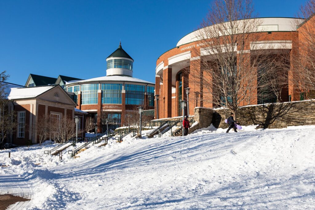
Notable Winter Storms
Winter Storms: Large-Scale Patterns ❄ Wintry Precipitation ❄ Notable Storms ❄ Climate Change ❄ Storm Database ❄ Latest Events
Not every winter is a snowy one in North Carolina, but occasionally, we’ve had blockbuster snowstorms and devastating ice storms that make for a memorable season. Here are a few of the noteworthy winter storms from North Carolina’s recent past.
A Blizzard Down East
One of the heaviest snows ever in eastern North Carolina came on March 1-2, 1980. A powerful low pressure system dropped more than a foot of snow across the region, with totals exceeding two feet in some spots.
Morehead City recorded 22 inches, Williamston had 24.4, and local reports of as much as 30 inches came in from Emerald Isle and Cherry Point.
That storm capped off the snowiest winter on record for much of the Coastal Plain. Elizabeth City had 45 inches total, including two separate events with at least a foot of snow on the ground.
Read a summary of this event by NWS Morehead City
The Coldest Day
A blast of Arctic air associated with a detached and southward-diving polar vortex reached North Carolina on January 21, 1985, and it shattered records for our all-time coldest temperatures across much of the state.
On the leading edge of the cold air, light snow fell on January 20. That blanket of snow on the ground, combined with clear skies and the frigid air arriving from Canada, helped temperatures plummet to unprecedented levels the following morning.
Raleigh dropped to -9°F while Greensboro hit -8°F and Charlotte hit -5°F. Naturally, it was even colder in the Mountains, reaching -16°F in Asheville and -24°F in Boone. And on our state’s highest point, Mount Mitchell hit -34°F, which still stands as our state’s record low temperature and has been largely unchallenged by any event since then.
Read our Climate Blog post about this event
A Coastal White Christmas
Less than a decade after their last major snowstorm, parts of eastern North Carolina were in for another on December 22-24, 1989. In that event, a storm system took shape well offshore, and with a cold air mass already in place unusually far south, the ingredients were in place for snow – and plenty of it.
Almost 20 inches fell in western Brunswick County, while Wilmington had 15.3 inches, Bayboro had 13 inches, and even the tropical-seeming Outer Banks had a foot or more on the ground. Wind gusts of up to 60 mph created blizzard-like conditions that piled snow up to eight feet high in drifts.
The cold temperatures that followed – including an all-time record low of 0°F in Wilmington on December 25 – helped that snow stick around through Christmas Day, which gave a rare White Christmas to the parts of the state that statistically average the least snowfall per year.
Read our Climate Blog post about this event
Storm of the Century
One of the strongest storm systems ever to traverse our coastline created such widespread impacts that it was nicknamed the Storm of the Century. As that low pressure system took shape to our south in mid-March of 1993, it produced severe thunderstorms and tornadoes over Florida. As a well-developed Nor’easter off our east coast, it produced blizzard conditions over the mid-Atlantic and New England.
In North Carolina, we had a bit of everything. Hurricane-force wind gusts were measured along the coast, while freezing rain and snow fell across the Piedmont. The precipitation fell as all snow in the Mountains, with more than a foot across the region, including 14 inches in Asheville.
The highest totals came on our highest peak. On March 13, observers on Mount Mitchell measured a 24-hour snow accumulation of 36 inches, with an eventual storm total of 50 inches – both state records that still stand today.
Read our Climate Blog post about this event
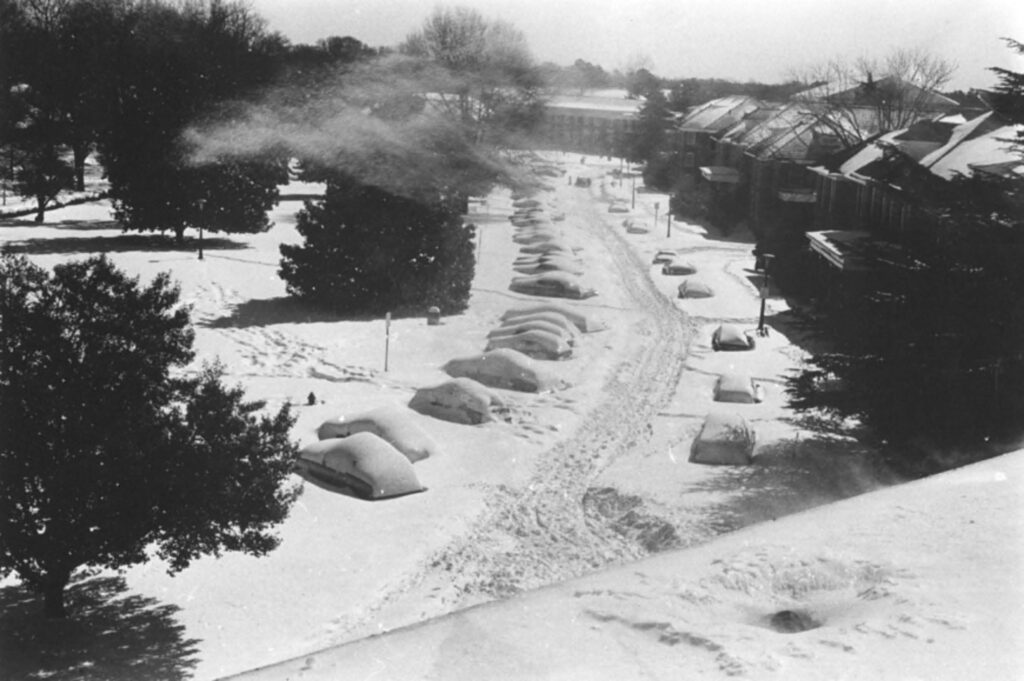
Carolina Crusher
Four winter storms in the space of a week affected North Carolina in January 2000, but none was more impressive than the January 25 storm that dropped more than 20 inches of snow across parts of the Piedmont.
A rapidly developing low pressure system caught forecasters by surprise, and the heaviest precipitation ended up falling inland – not offshore, as some computer models had predicted. A band of heavy snow set up across the eastern Piedmont, including over the Triangle.
That left a record-setting snow accumulation of 20.3 inches in Raleigh. Roads were impassable for days, schools were closed for up to two weeks, and more than a quarter-million people statewide were without power in the wake of this historic snowstorm.
Read a summary of this event by NWS Raleigh
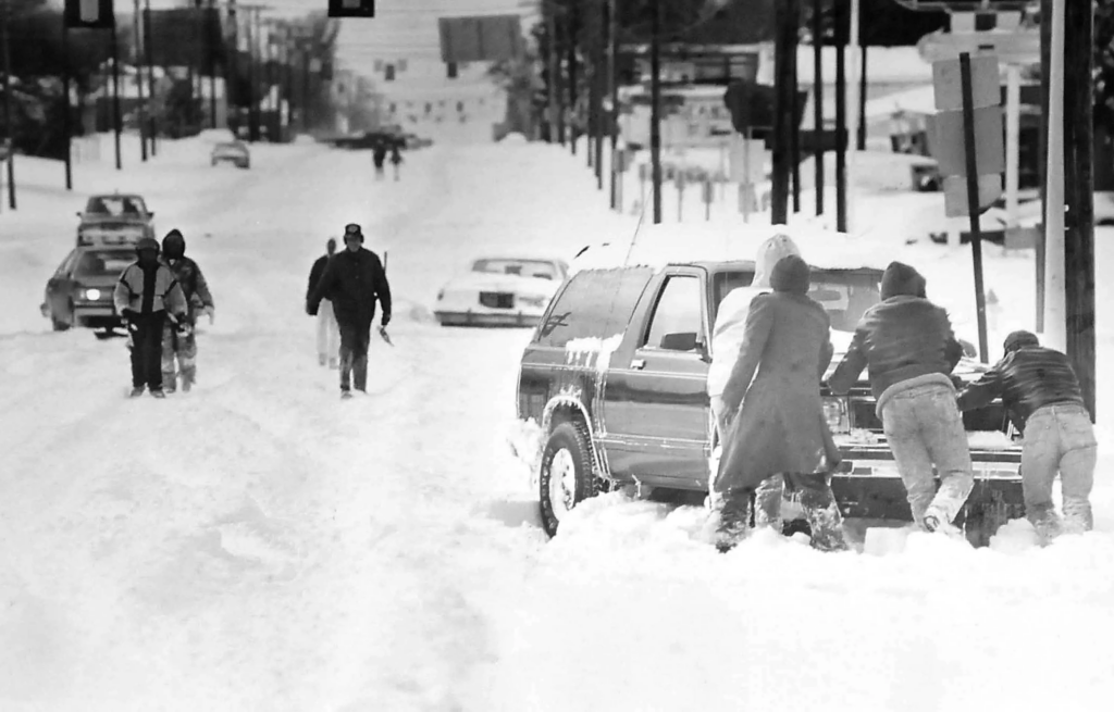
An Ice Storm for the Ages
The Piedmont is sometimes called the ice storm capital of the south, but few events can match the extreme ice storm on December 4-5, 2002.
Precipitation started falling as light snow, with accumulations of up to 3 inches in the Triad. However, a layer of warm air less than a mile above the ground eventually caused a changeover to freezing rain, and ice accumulations of a half-inch or more from Charlotte to Raleigh to Roanoke Rapids.
The weight of that ice toppled trees and power lines across the region, and at least 1.5 million electrical customers lost power in North Carolina. For that reason, this storm was called “Fran with ice,” referencing the damaging hurricane that hit just six years earlier.
Read our Climate Blog post about this event
A Widespread White Christmas
For a generation of millennials, their dreams came true in December 2010 with the first White Christmas most had ever seen in North Carolina. It was well worth the wait, as this turned out to be a sizable storm that brought accumulating snow across almost the entire state.
The snow fell in two waves during this event. On December 25, a band of moisture moving in from the southwest dropped more than 6 inches of snow across the Mountains and northwest Piedmont.
Later that night and the following day, the main low pressure system took shape along our coast, and up to a foot fell across the eastern half of the state, with the greatest storm totals of around 13 inches in Rocky Mount and Wilson.
Read a summary of this event by NWS Raleigh
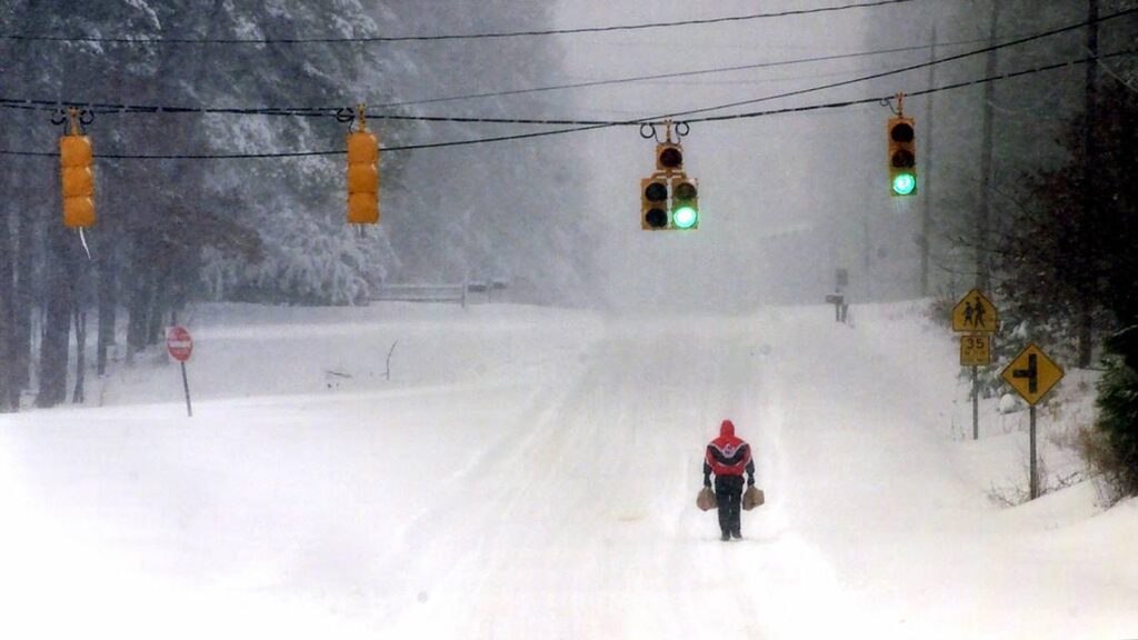
A Foot Falls Again
Winter was barely a week old in December 2018 before a snowstorm brought the greatest snow amounts in decades to the northern Piedmont and Mountains. With a cold air mass more typical of mid-winter in place, a moisture-rich storm system tracked up our coastline and brought heavy snow to parts of the state.
Our highest peaks received more than 18 inches of snow, while the Triad had a foot and Raleigh had 8.9 inches – its biggest snow in more than 16 years. Most areas received more snow in this event than they average over an entire year.
At the coast, warmer temperatures meant precipitation fell as just rain, but nearly 2 inches of liquid added to Wilmington’s record wet year, and it topped the 100-inch total for the first time in recorded history less than a week after this storm.
Read our Climate Blog post about this event
Mountain Snow for a New Millenium
The Mountains may be our climatological snowiest part of the state, but entering 2022, it had been several years since some sites in western North Carolina had seen a significant snowstorm.
That all changed on January 16, as low pressure hugging the coastline brought heavy snow to the Mountains, with widespread totals of 10 inches or more. The 10.4 inches in Asheville on January 16 was the most ever on that day of the year – in the height of the winter season – and the 20 inches at Beech Mountain was the most on a single day in more than 20 years.
Elsewhere, precipitation started as snow before changing to sleet in the Triad, while it was mostly a sleet storm for the Triangle, and the Sandhills had up to a quarter-inch of ice accumulation.
Read our Climate Blog post about this and other January 2022 events